The DJI GO App Update Includes GEO Geofencing System For Safer Drone Flying
Logan
07 Jul 2016
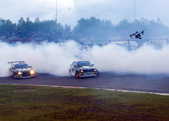
One of the worries for camera drone owners is that they might inadvertently fly into no-fly/no-go zones for their drones. These zones are restricted areas such as airports, stadiums, government facilities, power plants, and spaces where there usually crowds below. These also include temporary events such as sporting events, concerts, and emergencies such as forest fires. Unless authorized to assist such as part of commercial film crews or to help in rescue, the drone owner is allowed to fly his/her drone where it might cause more trouble rather than help.
Now, for owners of DJI drones, relief is coming. DJI announced that they are introducing the GEO to their DJI Go App. The GEO is a Geofencing feature that already allows DJI drone owners to avoid facilities which are in permanent lockdown from drones such as certain government and military facilities. But with the new update to their GO App, even temporary restrictions for events and emergencies are now included so that they can plan on avoiding areas for the time being until the event has passed.
"Safety is DJI's top priority, which is why we first introduced geofencing technology three years ago and have been steadily refining the industry's best technology to enhance aviation safety," said Brendan Schulman, DJI Vice President of Policy and Legal Affairs, who led the development of the new system. "Drone pilots want to fly safely, and our GEO system helps DJI customers fly responsibly while also enabling the full capabilities of remotely piloted aircraft."
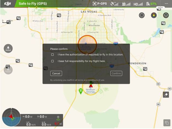
The update also includes flexibility in using the GEO future that allows DJI drone pilots with verified accounts to be able to unlock restrictions as long as they have permission to operate in the restricted area. This benefits those who do commercial work when asked to do some filming or inspection in restricted areas, or for hobbyists who are given permission to participate in an event that is located inside the restricted area. However, those that are deemed to be areas important for national security are permanently locked.
How will this be relevant for airsoft players who cover milsim events with camera drones? A good number of milsim events happen in military facilities and other areas where there are isolated facilities such as power plants. The GEO feature makes it easier for them to comply and fly their camera drones safely, provided that the drones are in the list of the DJI models that can use the feature.
The GEO system update is now available for iOS and Android devices using the DJI GO app. This can be used for all DJI Inspire models as well as the Phantom 4, Phantom 3 Professional and Phantom 3 Advanced models. DJI recommends that DJI drone pilots should update their app as well as the firmware for their controller and aircraft in order to take advantage of the system. This feature covers 17 countries with a population of 860 million people, including almost all of North America and Western Europe, and DJI intends to continue to expand to other regions around the globe.
Photos are from DJI's Facebook Page.